File:N&SAmerica-pol.jpg
Jump to navigation
Jump to search
Mannària de custa anteprima: 397 × 599 pixels. Àteras risolutziones: 159 × 240 pixels | 318 × 480 pixels | 964 × 1.455 pixels
Versione a risolutzione arta (964 × 1.455 pixels, mannesa de su file: 1,32 MB, tipu de MIME: image/jpeg)
Ogetu
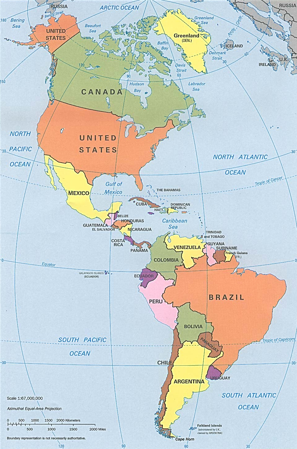
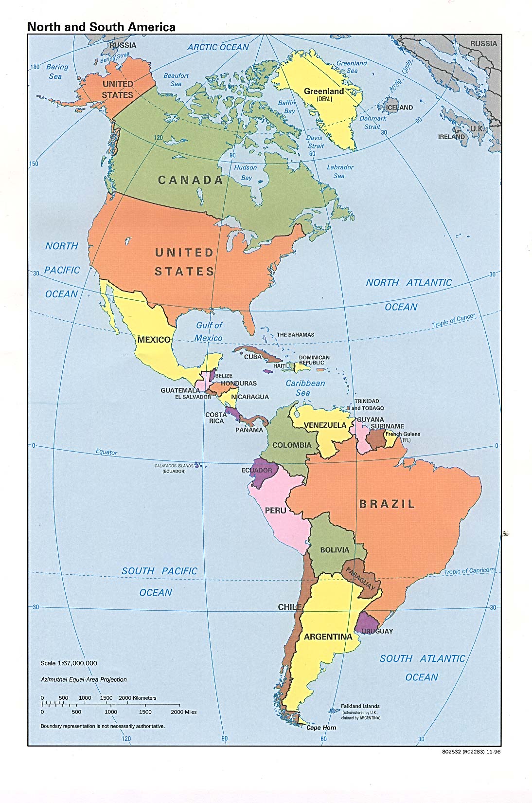
| Descritzione | Americas with political boundaries |
| Data | |
| Mitza | http://www.lib.utexas.edu/maps/americas/americas_pol96.jpg |
| Autore | CIA, original political map from Perry-Castañeda Library Map Collection; University of Texas Library Online |
Litzèntzia
| This image is a work of a Central Intelligence Agency employee, taken or made as part of that person's official duties. As a Work of the United States Government, this image or media is in the public domain in the United States.
|

|
Istòria de su file
Carca unu grupu data/ora pro castiare su file comente si presentada in su tempus indicadu.
| Data/Ora | Miniatura | Dimensiones | Utente | Cumentu | |
|---|---|---|---|---|---|
| atuale | 10:26, 22 Ghe 2023 | | 964 × 1.455 (1,32 MB) | wikimediacommons>Lojwe | Cropped 1 % horizontally, < 1 % vertically using CropTool with precise mode. |
Ligant a custu file
Sa pàgina chi sighit impreat custu documentu: